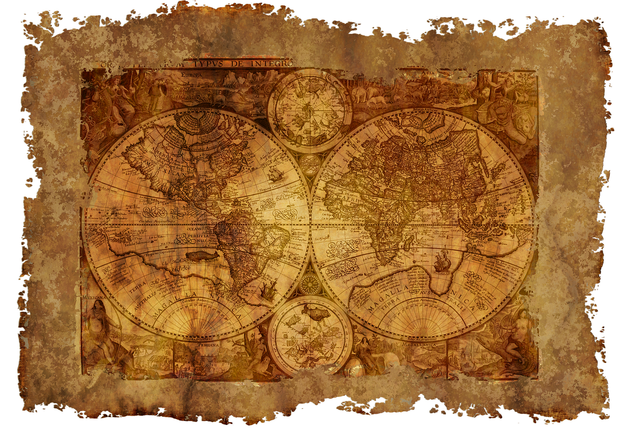
History of the World Map by Map


Maps hold a special place in understanding the history of the world. These historical maps tell stories of exploration, conquest, and discovery. Over time, maps have evolved to reflect the shifting landscapes of our past. Each map captures a moment in history, showing how people viewed their world. Categorizing maps into historical periods helps you see the bigger picture. You can trace changes from ancient times to the present. The DK History Book offers a fascinating look at this evolution. Dive into the world of maps and discover the rich tapestry of human history through these historical maps.
Ancient History
Early Cartography
The Babylonian World Map
The Babylonian World Map stands as one of the earliest known maps. This map dates back to the 6th century BCE. The map offers a glimpse into how ancient Babylonians viewed their world. The map features a circular shape with Babylon at the center. Surrounding regions appear in a stylized manner. Rivers and mountains decorate the map's edges. The map serves both geographical and symbolic purposes. The map reflects the Babylonian belief system and worldview.
Greek and Roman Contributions
Greek and Roman civilizations made significant strides in cartography. Ptolemy, a Greek geographer, created detailed maps based on mathematical calculations. These maps influenced future generations. The Romans, known for their engineering prowess, also contributed to map-making. Roman maps focused on practical uses. Roads, cities, and military routes appeared prominently. The Romans used maps to expand and manage their vast empire. Maps became essential tools for governance and exploration.
Medieval Maps
Mappa Mundi
The Mappa Mundi represents medieval Europe's understanding of the world. These maps combined geography with mythology and religion. The Hereford Mappa Mundi is a famous example. This map illustrates the known world in intricate detail. Mythological creatures and religious symbols fill the map. The map serves as a visual representation of medieval beliefs. The map offers insights into how people perceived their surroundings.
Islamic Cartography
Islamic scholars made remarkable advancements in cartography. Al-Idrisi created the Tabula Rogeriana in the 12th century. This map depicted Europe, Asia, and North Africa with precision. The map reflected the extensive trade networks of the Islamic world. Scholars used maps to explore scientific and cultural exchanges. Islamic maps influenced European cartography during the Middle Ages. These maps showcased the interconnectedness of different cultures.
Age of Exploration
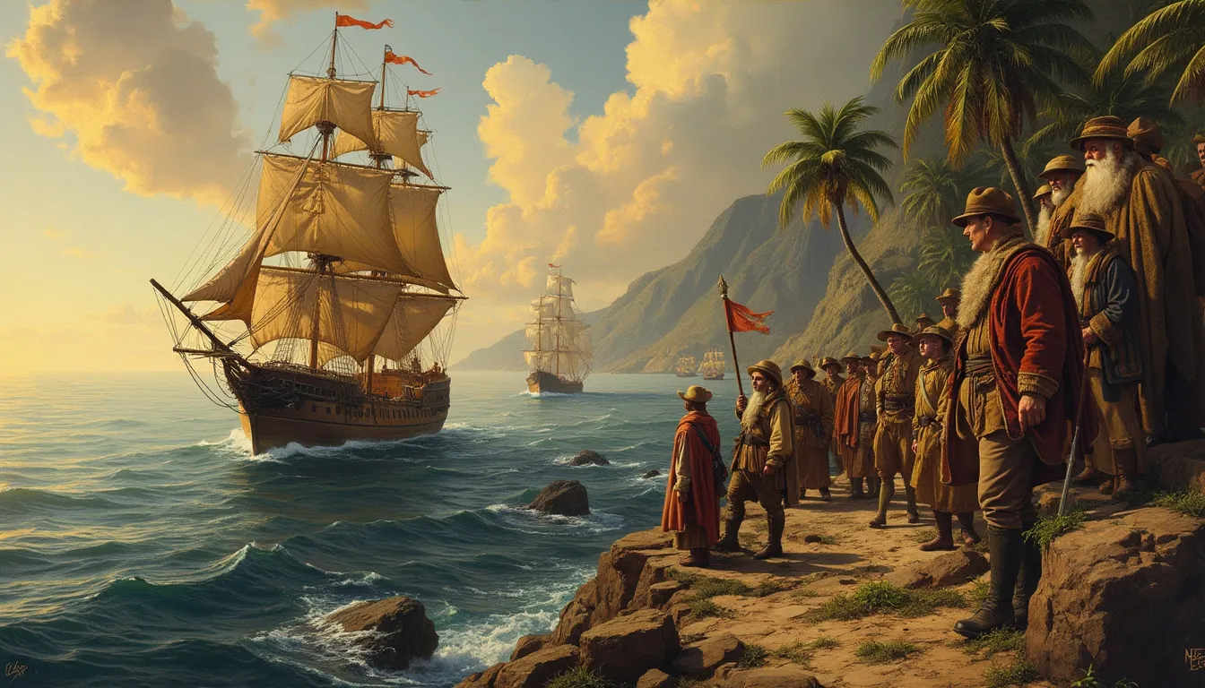
European Exploration
Portolan Charts
Portolan charts emerged during the Age of Exploration. These maps revolutionized navigation for European explorers. Mariners used portolan charts to navigate the Mediterranean Sea. The charts displayed coastlines with remarkable accuracy. Compass roses adorned these maps, guiding sailors on their journeys. The intricate details helped explorers find new trade routes. Portolan charts became essential tools for seafarers. The charts marked a significant advancement in cartography.
The Waldseemüller Map
The Waldseemüller Map holds a special place in history. This map was the first to use the name "America." Martin Waldseemüller created the map in 1507. The map depicted the New World with surprising detail. Waldseemüller's work reflected the spirit of exploration. The map captured the excitement of discovering new lands. Historians consider the Waldseemüller Map a masterpiece. The map influenced future generations of cartographers.
Impact on Indigenous Cultures
Maps of the New World
Maps of the New World transformed perceptions of geography. European explorers charted unfamiliar territories. These maps documented the landscapes of the Americas. The maps revealed the vastness of the continents. Explorers shared these maps with their homelands. The maps fueled curiosity and ambition. The maps played a role in shaping colonial ambitions. Indigenous cultures faced profound changes as a result.
Cultural Exchange and Conflict
Cultural exchange and conflict marked the Age of Exploration. Maps facilitated interactions between different cultures. Europeans and indigenous peoples exchanged knowledge. Maps recorded these encounters and their consequences. Conflicts arose as explorers claimed new lands. Maps illustrated the shifting boundaries of power. The maps told stories of conquest and resistance. The History Book captures these complex dynamics vividly.
Modern Era
Technological Advancements
Thematic Mapping
Thematic mapping has transformed how you understand data. These maps focus on specific themes or subjects. You can explore topics like population density, climate patterns, or economic activities. Thematic maps use colors, symbols, and patterns to convey information. This approach makes complex data more accessible and engaging. You can easily identify trends and patterns in various fields. Thematic mapping offers a powerful tool for visualizing information.
Satellite Imagery and GIS
Satellite imagery and Geographic Information Systems (GIS) have revolutionized modern cartography. Satellites capture detailed images of Earth from space. These images provide accurate and up-to-date information. GIS software processes and analyzes this data. You can create interactive maps with layers of information. This technology allows you to explore landscapes, urban areas, and natural resources. Satellite imagery and GIS enhance your understanding of the world.
Maps in Contemporary Society
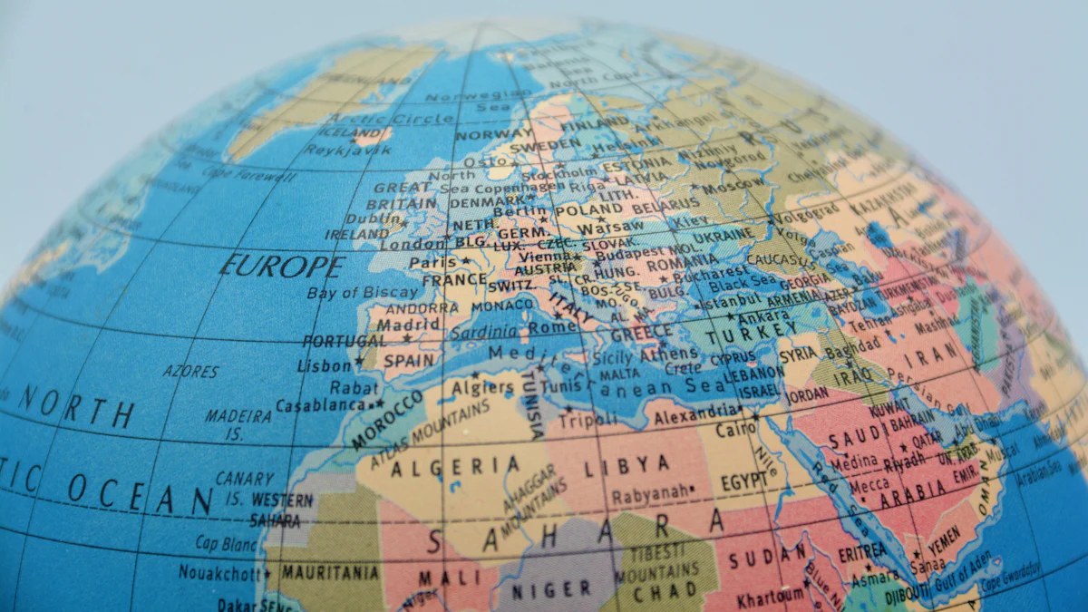
Political Maps
Political maps play a crucial role in today's society. These maps show boundaries of countries, states, and cities. You can see how political divisions shape the world. Political maps help you understand current events and geopolitical issues. These maps often include capitals and major cities. You can use political maps to learn about international relations. Political maps remain essential tools for education and media.
Maps in Education and Media
Maps have become indispensable in education and media. Teachers use maps to explain historical events and geographical concepts. Students engage with maps to explore different cultures and regions. Media outlets use maps to illustrate news stories and global trends. You can find maps in newspapers, websites, and television broadcasts. Maps provide visual context and enhance storytelling. The use of maps enriches your learning experience.
Maps have shaped your understanding of history and geography. The DK History Book showcases this evolution beautifully. Dive into maps to uncover the rich tapestry of human civilization. Maps offer a unique lens to view the past. Explore maps as powerful tools for learning and discovery. Embrace the journey through time with maps as your guide.